
This was always going to be a long day of 65 miles, mostly on dedicated cycle infrastructure. By good fortune Tom was feeling much better and ready to cycle. I repaid the sag he did for me yesterday by driving the van the first 22 miles.
We made the confusing transition from the Panhandle to the Montour Trail only because we had done it before. It is not well marked and very unintuitive. Even having done it before I began to doubt myself before evidence we were on the right course appeared. Even my GPS froze.
The first few miles of the Montour had awful surface, apparently due to us arriving during resurfacing when they lay down a thick layer of sand. It had rained the night before and continued a cool mist so the sand was not as treacherous as it might have been. After a few miles, the surface improved and we could enjoy the glorious scenery of full bloom goldenrods and early leaf color of every kind.
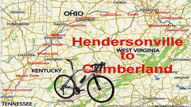
Ross took over sag, accompanied by Tom who was saving his legs for the new to us cycle route to the GAP. About 2 miles from the 2nd regroup in Hendersonville, OH, there was a sign saying the trail was closed ahead with no exit to Peters. Unsure what that meant, we continued on to find our way totally blocked at the end of the bridge over Charters Creek.
We asked a man working inside the blocked tunnel what was the deal. He said the tunnel was closed for relining, would be open in a month but for now it was closed with no detour because there was no safe option. Another man did allow that we looked like experienced cyclists and outlined a route that these cyclists did not want to experience.
A call to Ross and we regrouped to van to lunch in the surprisingly booming township of South Park. The van ride there was along the roads named as the best cycling detour around the blocked tunnel. It would have been awful. My sympathies to any unsupported through cyclists. Ride with GPS is usually good about alerting me to unusable routes, but not this time.
With bikes already loaded we vanned to the next trail access for an uneventful cycle to Jefferson Hills where I thought we’d next regroup. The initial plan was to van from there to the motel. When the apparently cyclable route appeared on Google maps, we included that and changed the regroup point. I have no memory of changing the regroup site but must have since everyone else knew about it. Tom elected to van to the motel. Jimmy, Bob, and I cycled to the motel by mostly paths and lanes with a short stretch on surface streets.
With all the route mods we were later than usual getting in. Bob was the only one to ride the entire day and decided to go to bed rather than supper. Jimmy found an excellent nearby Italian restaurant Goodfellers with a lot of character. I put away a large gyro and 20 oz of apple cider so also hit dreamland immediately upon returning to our room.
Today is a rest day but here I am up at 6:30. I may cycle the 9 miles to Pittsburgh downtown or may just do laundry and clean the grit off my bike’s drive train. Tomorrow we head down the Great Allegheny Passage (GAP) for the last leg of this journey.
Bruce
No comments:
Post a Comment